Fall arrives in Valley with gray skies, more days of over 100 degrees ahead
Sep 22, 2020, 12:00 PM | Updated: 9:25 pm

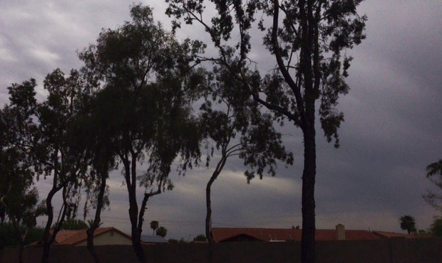
(KTAR News Photo)
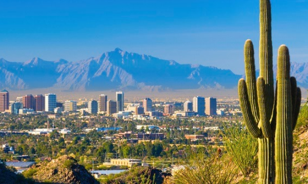
(KTAR News Photo)
PHOENIX – Fall arrived Tuesday in metro Phoenix and it was gray, a little damp and warmer than average, but at least we have officially kissed summer goodbye.
The National Weather Service in Phoenix predicted a daytime high near 102 degrees. That’s about 5 degrees warmer than the month’s average.
The low was expected to be about 78 degrees.
That’s what the remainder of the week looks like – over 100 degrees every day while the sun is up before dropping down to the mid-70s at night.
All of which sounds like autumn, given that the weather folks issued an excessive heat warning as recently as six days ago.

(Screenshot/National Weather Service)
Typically, according to weather service data, the last day of 100-degree temperatures in the Valley is Oct. 3.
A trace of amount of rain fell at Sky Harbor Airport on Tuesday, in keeping with what has been an underperforming monsoon season.
University of Arizona climate scientist Mike Crimmins described the monsoon as a failure last week.
“These dry conditions we saw this summer [will] continue through the fall and probably the winter,” he told KTAR News 92.3 FM.
“Arizona really can’t get a break,” he said.
Monsoon storm season runs from June 15 to Sept. 30.
With the season changing, the summer of 2020 officially went into the record books as the hottest in Phoenix history.
It's official – Phoenix Sky Harbor has just seen its hottest Astronomical Summer (June 22nd-Sept 21st period) on record. Sky Harbor also set an all-time record for mean high temperature (108.6) and low temperature (85.2) for this period as well! #azwx pic.twitter.com/WGBrxRrcZi
— NWS Phoenix (@NWSPhoenix) September 22, 2020


