
Thunderstorms develop in Valley ahead of expected heavier monsoon activity
NWS Phoenix said winds and possible blowing dust were expected to accompany the thunderstorms as they made their way southwest through the Valley.

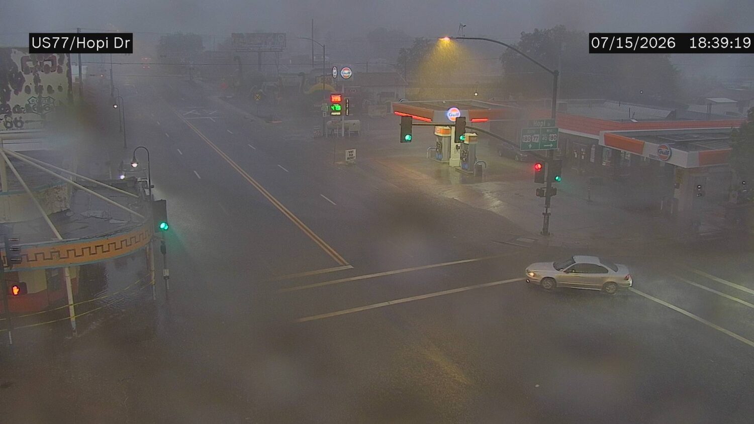
NWS Phoenix said winds and blowing dust could accompany the thunderstorms as they made their way southwest through the Valley. (Photo via ADOT)
(Photo via ADOT)
Thunderstorms developed in the Valley Wednesday evening ahead of heavier monsoon activity that was expected to hit the area Thursday.
The National Weather Service for Phoenix said that winds and possible blowing dust were expected to accompany the storms as they made their way southwest through the Phoenix metro.
View this post on Instagram
A dust storm warning was issued in Pinal County as the Arizona Department of Transportation said the winds kicked up walls of dust on Interstate 10 near Casa Grande and Picacho Peak.
The scattered weather activity started earlier in the day in northern Arizona before making its way into the Valley.
NWS’ radar showed the storms entering the Cave Creek and Fountain Hills areas around 6 p.m.
The weather authority issued special weather statements for Phoenix, Paradise Valley and communities in the East Valley due to winds of up to 40 mph.


NWS said the storms had moved west of Phoenix by 8 p.m. and activity was concentrated in the south and west.
Rainfall amounts from the thunderstorms seemed to be sporadic around the Valley as the Maricopa County Interactive Rainfall Data Map showed central Phoenix getting 0.43 inches of rain, Buckeye being hit with 0.51 inches, Fountain Hills receiving 0.08 inches and Queen Creek being sprinkled with 0.04 inches as of 9 p.m.
NWS meteorologist Chris Kuhlman told KTAR News 92.3 FM on Tuesday that Thursday’s weather disturbance could cause a flood watch due to the expected heavy rainfall.
Related
 Parts of metro Phoenix see showers before evening lull, overnight ramp up
 Ground stop issued for Phoenix Sky Harbor due to thunderstorms
 Possibility of showers remains in Phoenix-area forecast after wet weekend
 Storms to continue in Valley with winds causing delays at Phoenix Sky Harbor
 Storms bring scattered showers, dust to Valley causing delays at Sky Harbor and power outages
 Scattered showers, thunderstorms expected to hit metro Phoenix

Comments
0 Comments