
Winter storm systems bringing showers to Valley, snow to northern Arizona
Winter storm systems are expected to bring showers to metro Phoenix and snow to Arizona’s high country this week.

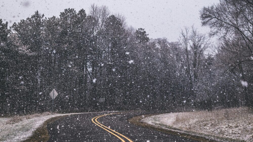
Winter storm systems are expected to bring showers to metro Phoenix and snow to Arizona’s high country this week. (Pexels photo)
(Pexels photo)
PHOENIX – Winter storm systems are expected to bring showers to metro Phoenix and snow to Arizona’s high country this week.
The Valley has a 70% chance for precipitation on Wednesday, with expected rainfall totals between 0.10 and 0.25 inches, according to the National Weather Service.
A tandem of weather systems will promote much cooler temperatures and wetter conditions starting tomorrow. The first system will bring lower desert rain and the second system will be colder, resulting in snow showers across the AZ high terrain. #azwx #cawx pic.twitter.com/hnsWJ85Vkq
— NWS Phoenix (@NWSPhoenix) January 7, 2026
The activity is expected to taper off after peaking in the early afternoon, with a slight chance for overnight showers and thunderstorms.
Rain chances will rise back to 50% by midday Thursday, when wind gusts could reach 25 mph. Rainfall totals are expected to be below 0.10 inches for the day, with higher amounts in areas where thunderstorms develop.
The metro Phoenix forecast also calls for the coldest temperatures of the season so far, with highs in the lower 60s or upper 50s in the coming days and overnight lows dipping into the 30s by the end of the week.
How much snow will winter storms bring to northern Arizona?
Meanwhile, rain is expected to turn to snow in the high country as temperatures fall on Wednesday.
“The main focus is probably going to be Thursday; that’s when the heaviest accumulations are going to be,” Carter Humphreys of the National Weather Service in Flagstaff told KTAR News 92.3 FM on Wednesday morning.
Humphreys said 1 to 2 inches of snow is expected above 6,500 feet, with totals up to 8 inches possible in higher elevations.
Winter weather is on the way! ❄️❄️❄️
Rain and snow develops late this afternoon/evening, continuing into the overnight. Snow levels then fall on Thursday, with accumulating snow possible down to 5000 feet. Full forecast: https://t.co/74uEomlFX1. #azwx pic.twitter.com/s4YiHhGdud
— NWS Flagstaff (@NWSFlagstaff) January 7, 2026
“Definitely looking at the potential for some hazardous driving conditions, especially as we get into tonight, and then more impactful weather as we get into Thursday as we get more widespread, heavier snow across northern Arizona,” Humphreys said.
KTAR News 92.3 FM’s Colton Krolak contributed to this report.
Related
 Phoenix forecast for this week includes possibility of rain, colder winter temperatures
 KTAR Weather Center: Forecast, radar maps, latest news
 Snowbowl gets 2 inches of early-season snow
 Phoenix surpasses normal monsoon season rainfall total with late surge
 Thunderstorms create hazardous driving conditions across Phoenix area
 Driver safely escapes after truck gets swept away in north Valley floodwaters

Comments
0 Comments