
Valley, eastern part of Arizona to get relief from weather activity after damaging storms
NWS Meteorologist Mark O'Malley said that weather will move out of the Valley by sunset Thursday, adding it should clear the state completely overnight.

Watch: Heber residents face future weather activity after destructive storm tore through community | 29 seconds
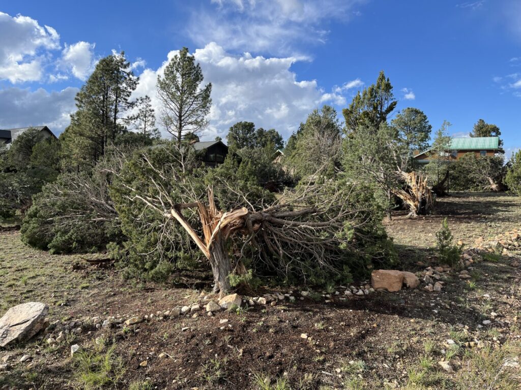
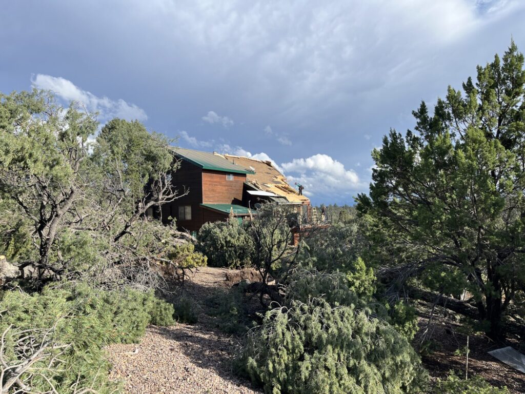
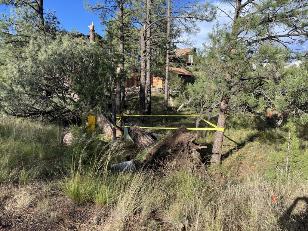
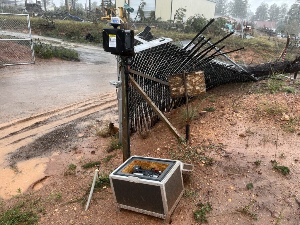
After metro Phoenix got pounded with hail, strong winds and rain and parts of northeastern Arizona were plagued with tornado warnings following a suspected twister touching down in Heber-Overgaard, weather activity is expected to move out of the state by Friday.
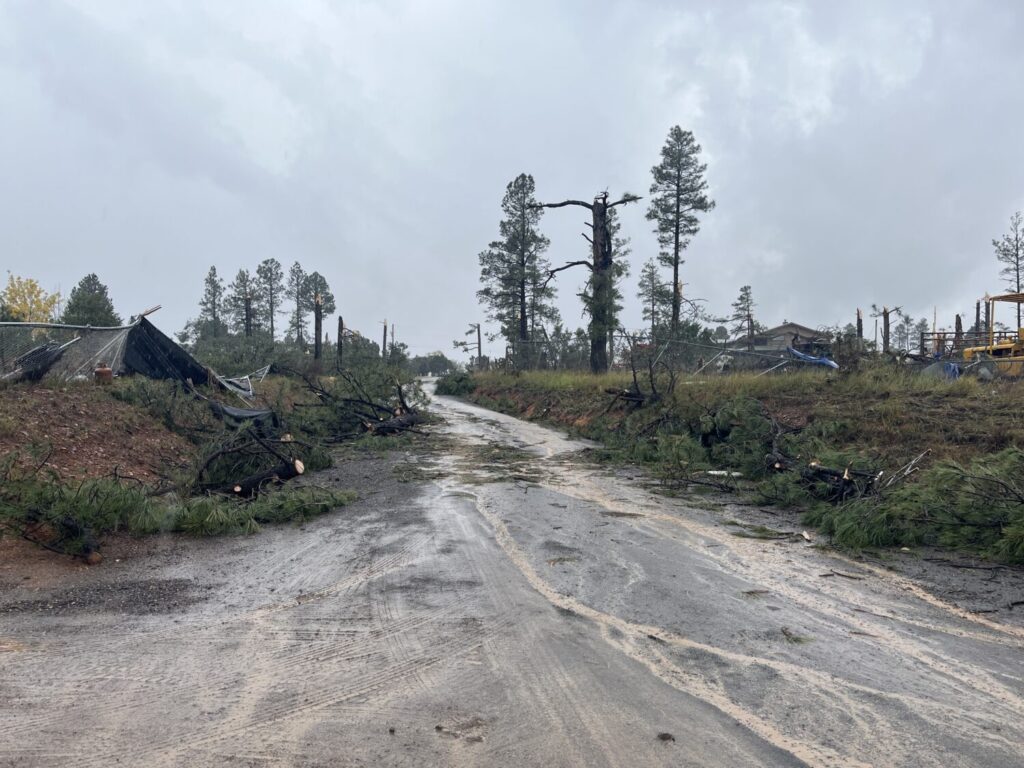
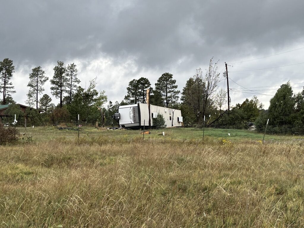
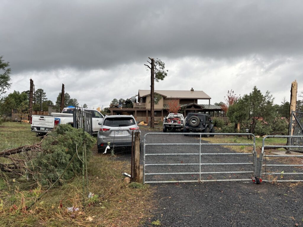
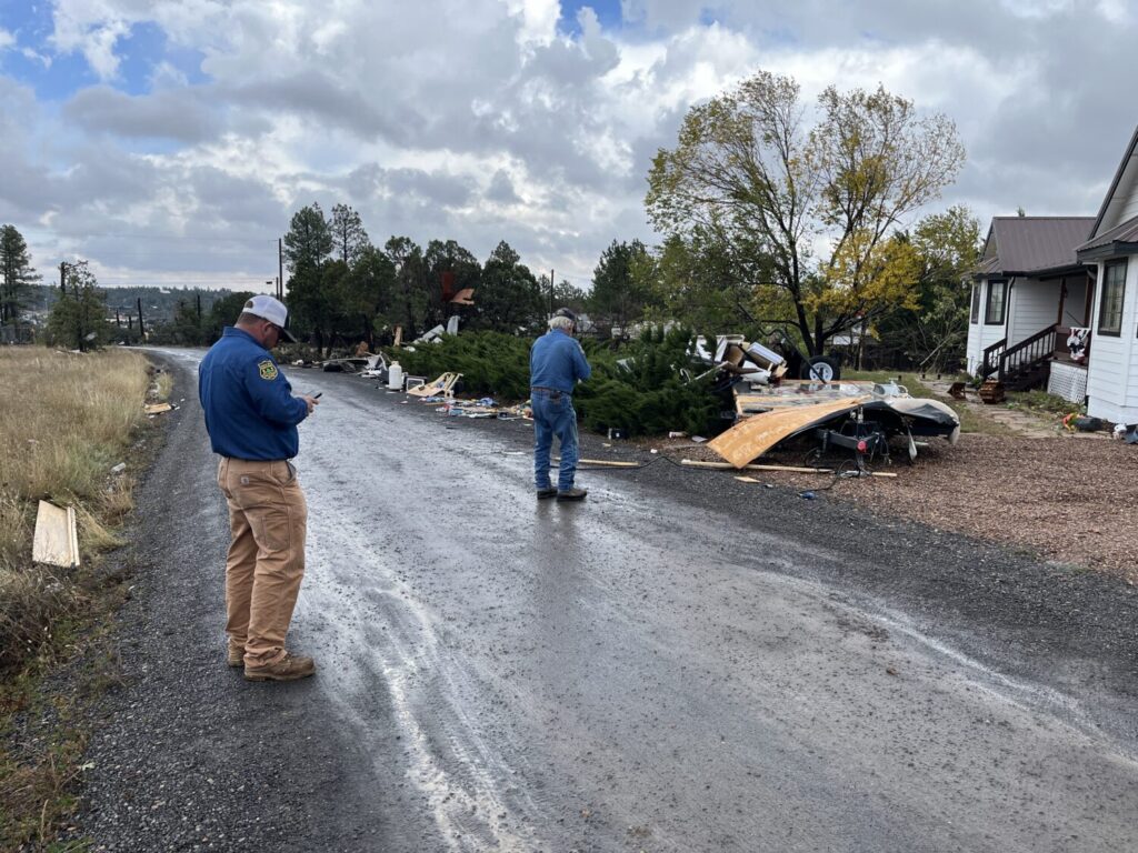
Mark O’Malley, a meteorologist for the National Weather Service in Phoenix, told KTAR News 92.3 FM bands of showers and thunderstorms would progress through the East Valley over the next couple hours.
“By sunset, it really looks like the rain will be done for the metro area and moved out into the mountains of eastern Arizona, and it looks delightful for the overnight hours,” O’Malley said. “Temperatures tonight around the metro getting down into the upper 50s to lower 60s.”
A tornado warning was issued Thursday afternoon for areas near Show Low in Navajo County. There is also a tornado watch in effect for eastern Arizona through 8 p.m. MST. It includes parts of Graham, Greenlee and Cochise counties.
“We’ve seen numerous strong storms with large hail. There’s been a few possible tornadoes up in the northeast part of the state so far today,” O’Malley said. “And so, if you’re traveling that direction in the next couple hours, just be weather aware.”
O’Malley added that the activity should move into New Mexico this evening, then clear out during the overnight hours.
How much rain did metro Phoenix see? How many tornado warnings were issued?
The Valley has been doused with varying amounts of rain since the activity moved into the region on Wednesday, according to the Maricopa County Rainfall Data map.
Parts of the West Valley, including Surprise, El Mirage and Litchfield Park, received 0.04 to 0.12 inches of rain. While areas in the East Valley, got anywhere from 0.04 to 0.31 inches.
North Phoenix also saw around 0.04 to 0.12 inches of rain. Meanwhile, central Phoenix was sprinkled with an amount of precipitation that wasn’t measurable.
Between the National Weather Service in Flagstaff and Tucson, there were a total of 16 tornado warnings issued since 5:45 a.m. Wednesday.
A tornado watch means conditions are favorable for tornadoes to develop. A tornado warning means a tornado has been spotted or indicated by radar. The warnings do not, by themselves, confirm that tornadoes touched down.
Related
 Tornado warning issued near Show Low as watch in effect for other parts of eastern Arizona
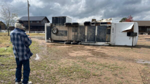 Heber residents face aftermath of potential tornado: ‘This puts me homeless now’
 Almost 200 flights delayed at Sky Harbor Airport as hail, possible tornado threaten Valley
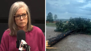 After possible tornado strike, lawmaker calls on Gov. Katie Hobbs to declare state of emergency
 Phoenix under severe thunderstorm watch with potential hail; eastern Arizona faces tornado risk
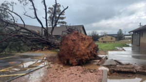 Suspected tornado injures 1, damages up to 30 buildings in Heber-Overgaard area

Comments
0 Comments