
Phoenix under severe thunderstorm watch with potential hail; eastern Arizona faces tornado risk
NWS Phoenix said a few brief tornadoes are possible for areas in east Arizona, along with heavy rainfall and hail.

Watch: A supercell over Heber-Overgaard Arizona last night produced what was "likely a tornado". | 39 seconds
Phoenix remains under a severe thunderstorm watch through 1 p.m. Thursday and a flash flood watch through 5 p.m., a day after large hail damaged cars and strong winds knocked down trees in parts of the city.
A tornado watch is also in effect for eastern Arizona through 8 p.m., including Gila County and the communities of Globe, Miami and San Carlos.
National Weather Service meteorologist Sean Benedict told KTAR News 92.3 FM that large hail caused significant damage in western and north-central parts of Phoenix on Wednesday.
“We were able to see large hail develop out of this storm,” Benedict said Thursday morning. “We were seeing hailstones up to an inch and a half to 2 inches.”
Almost 200 flights at Phoenix Sky Harbor were delayed as of noon Thursday.
What does the severe thunderstorm watch mean for Phoenix?
A watch means conditions are favorable for severe thunderstorms to develop, but it does not mean severe weather will occur at every location.
Residents should have multiple ways to receive weather alerts and be prepared to seek shelter if a severe storm approaches, the weather service said.
Anyone encountering a severe thunderstorm should move indoors and stay away from windows.
If Thursday’s storms resemble Wednesday’s, hail could damage more cars and buildings, and strong winds could knock down more trees.
“That’s going to cause a lot of damage, and it reflects the damage we saw with a lot of cars having their windows blown out or knocked out with these hailstones,” Benedict said. “In addition to that, the storm did produce some pretty strong winds, and so we did have some wind damage as well, some trees knocked down in that area.”
Storm damage reported in northern Arizona
Wednesday’s storms caused significant damage in the Heber-Overgaard area, where minor injuries were reported, according to a Thursday morning statement from the Navajo County Sheriff’s Office.
Emergency crews are assessing damage and assisting residents. The sheriff’s office did not provide an injury count or confirm whether a tornado caused the damage.
A reception center for displaced residents has opened at the Navajo County Heber Complex, 2188 West Country Club Drive in Heber. The American Red Cross is coordinating a shelter, with details to be announced when available.
KTAR News 92.3 FM’s Martha Maurer contributed to this report.
Related
 Tornado warning covers Red Rock State Park, other areas near Sedona
 Almost 200 flights delayed at Sky Harbor Airport as hail, possible tornado threaten Valley
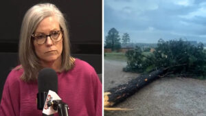 After possible tornado strike, lawmaker calls on Gov. Katie Hobbs to declare state of emergency
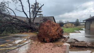 Suspected tornado injures 1, damages up to 30 buildings in Heber-Overgaard area
 Valley storm brought threat of destructive baseball-sized hail
 Significant damage, minor injuries reported in Overgaard after Wednesday’s storms

Comments
0 Comments