
Authorities warn residents near Adams Fire north of Mesa about potential evacuations
Authorities warned residents near the Adams Fire north of Mesa about the potential for evacuations on Monday morning.

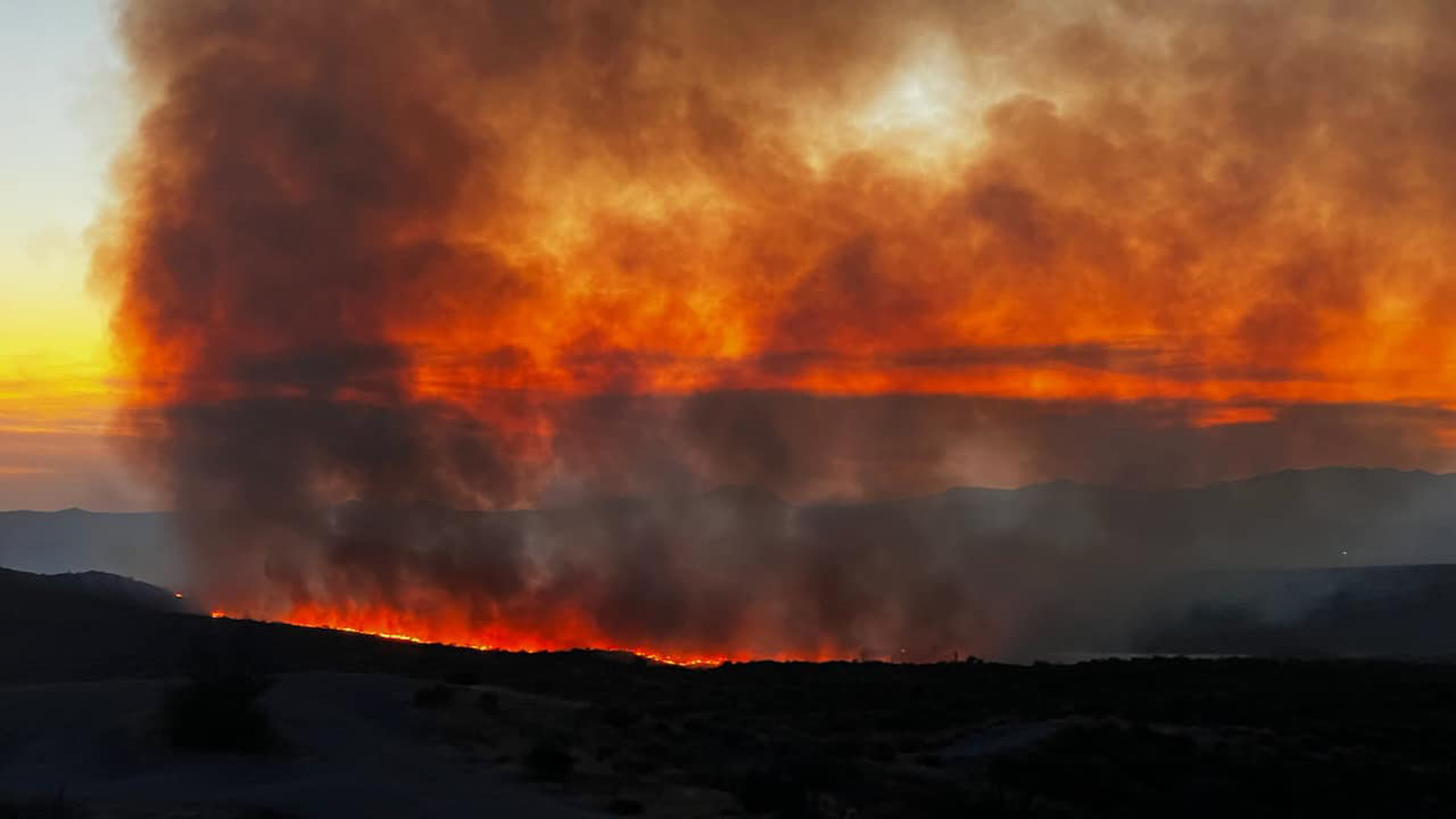
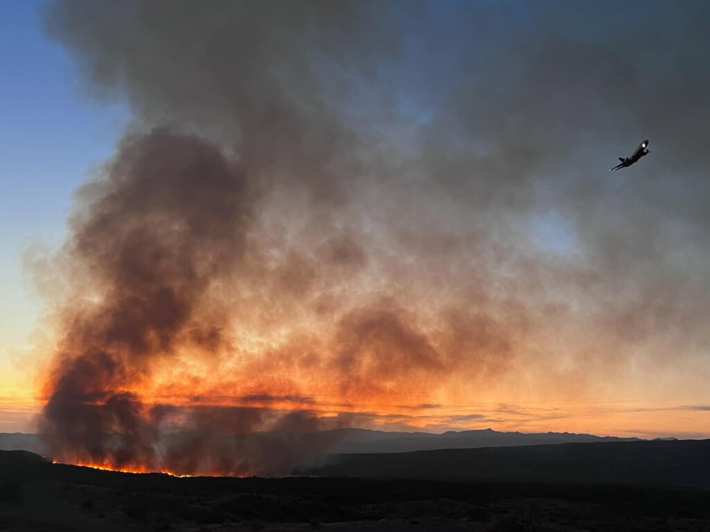
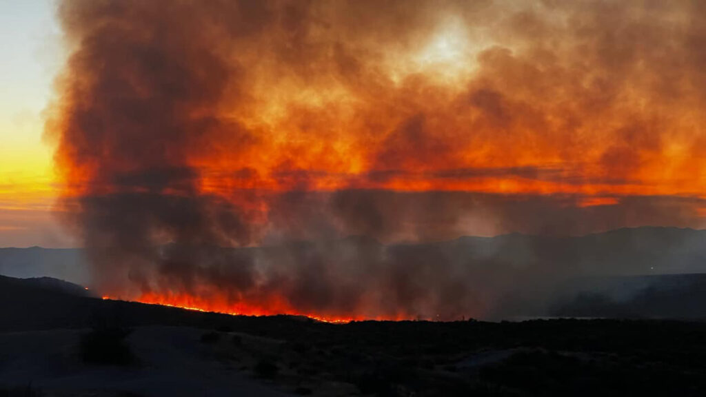
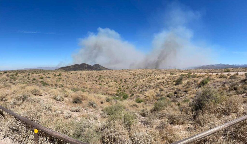

PHOENIX — Authorities warned residents near the Adams Fire north of Mesa about the potential for evacuations on Monday morning.
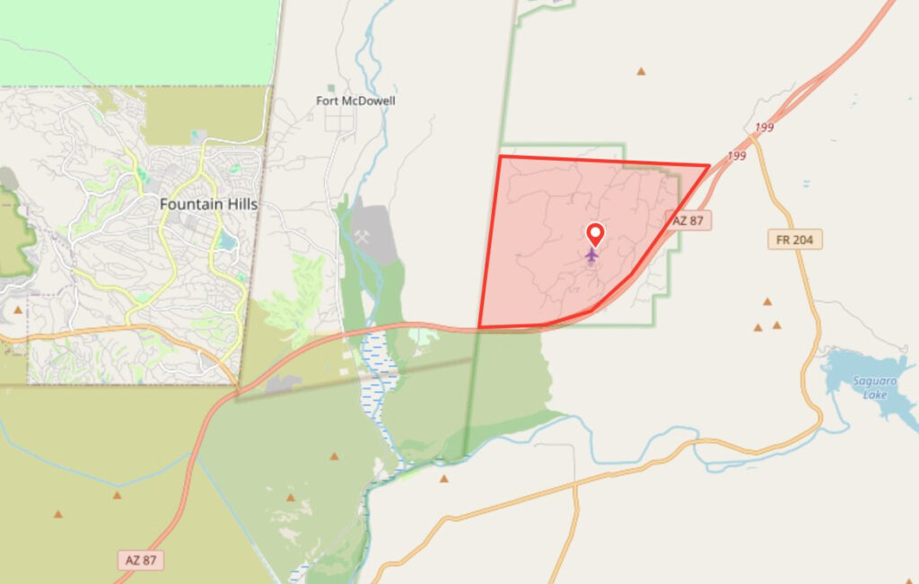
The Goldfield Ranch community north of State Route 87, about 8 miles east of Fountain Hills, was placed in the SET status of the state’s emergency alert system, meaning there is significant danger in the area.
“Residents living in the area should gather their personal belongings including prescriptions, leashes and carriers for pets, snacks and water, identification documents, and some personal items,” an alert from the Maricopa County Emergency Management Department said.
How large is the Adams Fire in northeast Maricopa County?
The Adams Fire had consumed about 3,500 acres by Monday morning, with no containment, officials said.
Crews responded to the human-caused fire in the Lower Sycamore area of Tonto National Forest, near mile marker 200 of SR 87 (aka Beeline Highway), around 5:20 p.m. Sunday, according to InciWeb.
The Fort McDowell Bureau of Indian Affairs, Tonto National Forest and Arizona Department of Forestry and Fire Management were on the scene, with an initial response that included multiple engines, a helicopter and two Super Scooper aircraft that pick up water from local reservoir lakes and dump it on the burning terrain.
Firefighters on the #AdamsFire are conducting a tactical burn out along Forest Service Road 1847 between Goldfield Ranch the the main fire. This will help reinforce the control lines north of the Goldfield Ranch area. pic.twitter.com/oMfgiOCXXh
— Tonto National Forest (@TontoForest) June 3, 2024
The incident was initially called the Lower Sycamore Fire but was renamed Sunday night as the Adams Fire.
The public was asked to avoid the Lower Sycamore area while crews were battling the blaze.
Related
 Firefighters responding to Spring Fire north of Phoenix near State Route 87
 Arizona man accused of starting fire in wildlife refuge near California border
 Arizona man accused of setting 3 fires north of Payson last week
 4-year-old boy dies a month after being pulled from Phoenix apartment pool
 Tucson Police identify, charge mass shooting suspect who left 9 injured
 NBA star James Harden among investors bringing Smiling Moose Sandwich Grill to Scottsdale

Comments