
Thunderstorms could bring flooding, strong winds, hail and even tornadoes to Phoenix area
A potent weather system heading to the Valley has the potential to produce dangerous conditions Wednesday, the National Weather Service said.

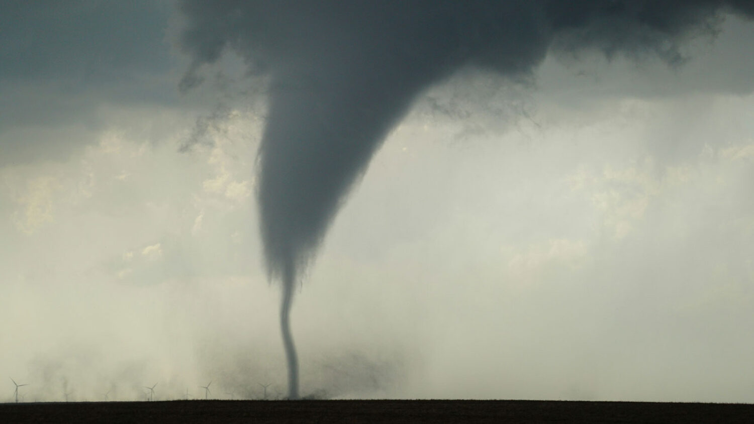
We're not in Kansas, but Arizona could see a tornado Wednesday. (Unsplash photo)
(Unsplash photo)
A potent weather system heading to metro Phoenix has the potential to produce tornadoes Wednesday, according to the National Weather Service.
While the chance of an isolated tornado forming is under 5%, strong thunderstorms could cause flash floods and other hazards.
High impact weather continues to look likely Wed-Thu. A Flood Watch is in effect across much of SC/E AZ. In addition, isolated strong to severe storms leading to damaging winds, large hail, and even a very small chance (<5%) of an isolated tornado will be possible. #azwx pic.twitter.com/04LVZiz2vP
— NWS Phoenix (@NWSPhoenix) October 20, 2026
“There’s a potential that some of these storms may actually reach severe levels, meaning that there’s a potential that they could produce strong damaging wind gusts in excess of 60 mph, even some large hail, as well,” Gabriel Lojero, a meteorologist for the weather service in Phoenix, told KTAR News 92.3 FM on Tuesday morning.
Lojero added that hail could accompany “any strong to severe thunderstorms that develop,” with no particular locations at greater risk.
Arizona sees an average of four to six tornadoes per year, according to the Arizona State Climate Office, typically in the 0-2 range of the Enhanced Fujita Scale.
When will the most severe weather hit the Phoenix area?
The Valley has a 50% chance for rain late Tuesday and early Wednesday.
However, Lojero said the most impactful weather is expected to begin Wednesday afternoon and last until Thursday morning.
“And then we should see things gradually improve as we head into Thursday afternoon and into Thursday evening as drier air starts to surge,” he said.
Ahead of the deluge, the weather service issued a flood watch for much of central and northern Arizona from 8 p.m. Wednesday to 5 p.m. Thursday.
Lojero said a potent low-pressure system from the California coast and a feed of moisture from the south will combine to create widespread storms that have the potential to dump 1 to 2 inches of rain per hour.
“And there’s also the potential that some of these storms could actually ‘train,’ meaning that they move over the same area for an extended period of time, and thus that will heighten the flash flood potential,” he said.
KTAR News 92.3 FM’s Colton Krolak contributed to this report.
Related
 Thunderstorms with potential to produce flash flooding expected in Phoenix area this week
 Light rain moves into Phoenix metro following high winds
 Is Arizona’s water supply getting boost from recent storms, El Niño?
 Parts of metro Phoenix see showers before evening lull, overnight ramp up
 Ground stop issued for Phoenix Sky Harbor due to thunderstorms
 Possibility of showers remains in Phoenix-area forecast after wet weekend

Comments
0 Comments