
UN General Assembly endorses a new world map that shows more accurately Africa’s size

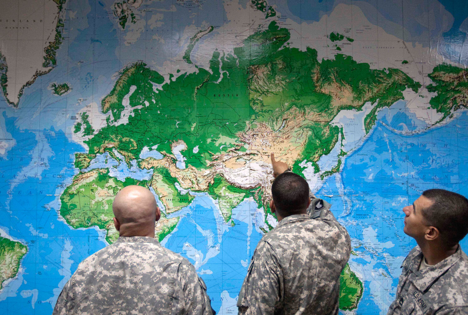
FILE - Soldiers look at a world map as they wait to board a flight in Manas, Kyrgyzstan, on the way home after completing a deployment in Afghanistan, Thursday, Aug. 11, 2011. (AP Photo/David Goldman, file)
Credit: AP Photo/David Goldman
(AP Photo/David Goldman, file)
The United Nations General Assembly on Friday endorsed a new world map that represents Africa more accurately in its larger size, a culmination of a recent campaign led by African countries and advocacy groups.
Friday’s resolution, which was sponsored by Togo and backed by members of the African Union, was passed with 164 member states voting in favor. Only the U.S. voted against it while six other countries — Serbia, Estonia, Georgia, Lithuania, Moldova and Ukraine — abstained.
The vote encourages governments and institutions around the world to replace the traditional Mercator map, commonly used since the 16th Century, with the Equal Earth projection that advocates and geographers say shows locations more accurately.
The Mercator projection shows Greenland and Africa as appearing to be about the same size whereas in the Equal Earth projection that shows continents in their true proportions, Africa is 14 times larger than Greenland.
Friday’s resolution does not ban the Mercator projection or impose a replacement, but only encourages the use of the Equal Earth projection, the U.N. said in its report.
“Maps shape our understanding of the world,” the global body quoted Togo’s Foreign Minister Robert Dussey as saying before the vote. “They guide education, nourish the imagination, and influence collective perceptions.”
Africa No Filter, one of the lead campaigners for the adoption of the new map, hailed the resolution, adding: “We want to see accurate maps in schools, textbooks, newsrooms, businesses and on the digital platforms billions of people use every day.”
Several countries hailed the adoption and urged the adoption of the Equal Earth map. “Changing the map obviously doesn’t change the world. But correcting a representation that distorts it is already an act of truth,” French Foreign Minister Jean-Noël Barrot said on X after the vote.
The Mercator map was designed by Flemish cartographer Gerardus Mercator to help European navigators at sea, but advocates say it distorted landmasses by enlarging regions near the poles such as North America and Greenland while shrinking Africa and South America.
The 2018 Equal Earth projection, on the other hand, follows the Earth’s curvature and shows continents in their true proportions.
Geographers say the traditional map is only useful for navigation.
“Outside of that very narrow navigation application, there is no point in using it,” according to Mark Monmonier, a Syracuse University professor of geography.
Related
 Man accused of murdering Lauren Heike on north Phoenix hiking trail enters guilty plea
 Trump announces $90 payments for seniors on Medicare ahead of midterm elections for premium costs
 Trump rallies in Ohio to boost Jon Husted in a tight Senate race against Sherrod Brown
 Mormon leader decries explosion in sports gambling, prediction markets
 What attendees should know for the USMNT vs. Mexico soccer game at State Farm Stadium
 Trump urges calls to Arkansas Sen. Tom Cotton in push for permanent daylight saving time
Comments
0 Comments