Cooler weather is definitely on the way to Phoenix area, some rain is probable
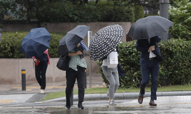
If the cooler weather in metro Phoenix doesn't get you into long sleeves the rest of this week, the rain just might.

(AP Photo)
(AP Photo)
PHOENIX – If the cooler weather in metro Phoenix doesn’t get you into long sleeves the rest of this week, the rain just might.
The National Weather Service said there was a 70% chance of rain late Wednesday and 80% on Thursday. Between one-tenth and one-quarter of an inch was anticipated. Any measurable rain would snap a 110-day dry streak.
The forecast also called for wind, possible isolated thunderstorms, and a double-digit drop in temperatures.
An expected high of a sunny 79 degrees Wednesday will be followed by 63 degrees on Thursday and into the weekend. It was nearly 80 degrees Tuesday.
Overnight lows were likely to be in the 40-48 degree range through at least Sunday. A projected low of 41 degrees triggered a freeze warning one day last week.
There’s another low of note – the Phoenix weather bureau reports the area is almost 3 inches behind the norm in rainfall at this time of year.
The Valley has collected 4.55 inches of rain for 2020 as of Tuesday.
Higher than usual fall temperatures have enveloped the region, in fact, they’re record breaking. It was the hottest autumn in city history.
Phoenix posted an average high temperature of 93.2 degrees from Sept. 1 through Nov. 30, topping the previous average of 92 degrees set in 2017.
That came on the heels of the Valley’s hottest summer, with 50 days of at least 110 degrees, a mark that sent the previous best off 33 days down in flames.
Related
 Phoenix follows up hottest summer ever with hottest autumn
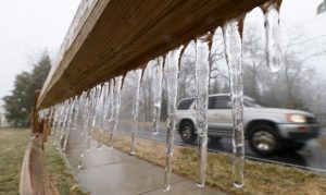 Freeze warning issued for Friday in metro Phoenix, other parts of Arizona
 Warren Petersen called as winner in GOP primary for Arizona attorney general
 ASU professor wins United Nations award for using NASA satellites to map groundwater
 Kimberly Yee leading Tom Horne in bitter GOP primary for Arizona schools chief
 Alex Kolodin tops former state party chair in secretary of state primary race

Comments