
Apple Maps update includes public transit directions in Phoenix
Thanks to Apple Maps' new update, including public transit information, it's a whole easier to find the best means of transportation for your day.

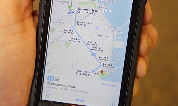
In this photo taken Friday, Dec. 4, 2015, the Apple Maps app displays transit directions in San Francisco. Apple, Google and several smaller companies all help you get from point A to B via public transit. (AP Photo/Eric Risberg)
(AP Photo/Eric Risberg)
PHOENIX — Public transportation is readily available in Phoenix, but finding the best route or method can be a hassle.
But if you are an Apple user, you may be in luck.
Thanks to Apple Maps’ new update, it’s a whole lot easier to find the best means of public transportation for your day.
People who own an iPhone, iPad, Mac or Apple Watch can use the new maps feature in other areas of the Valley including Scottsdale, Chandler, Tempe and Glendale. Mesa is out of range, according to appleinsider.
The ways of transportation include the Valley Metro buses and trains and the PHX Sky Train, located at Phoenix International Airport, according to MacRumors.
When Apple Maps first launched, it was introduced to a handful of cities in the U.S. including San Francisco, New York City and Boston. It has since expanded to include more cities.
Related
 Get ready for rain! Phoenix could see its last 100-degree day before weekend storms
 Phoenix freeway closures: How to steer clear of roadwork this weekend
 Phoenix events calendar: Things to do this weekend and beyond
 Phoenix concert calendar: Nickelback, Def Leppard join list of upcoming Valley shows
 Two suspects sought after $93K worth of high-end items, MLB gear stolen from storage unit
 Short-term rental properties keep Scottsdale police busy

Comments
0 Comments