
Monsoon activity could pick up heading into Labor Day weekend
The Valley has a 20% chance for afternoon or evening rainfall Thursday, Friday and Saturday.

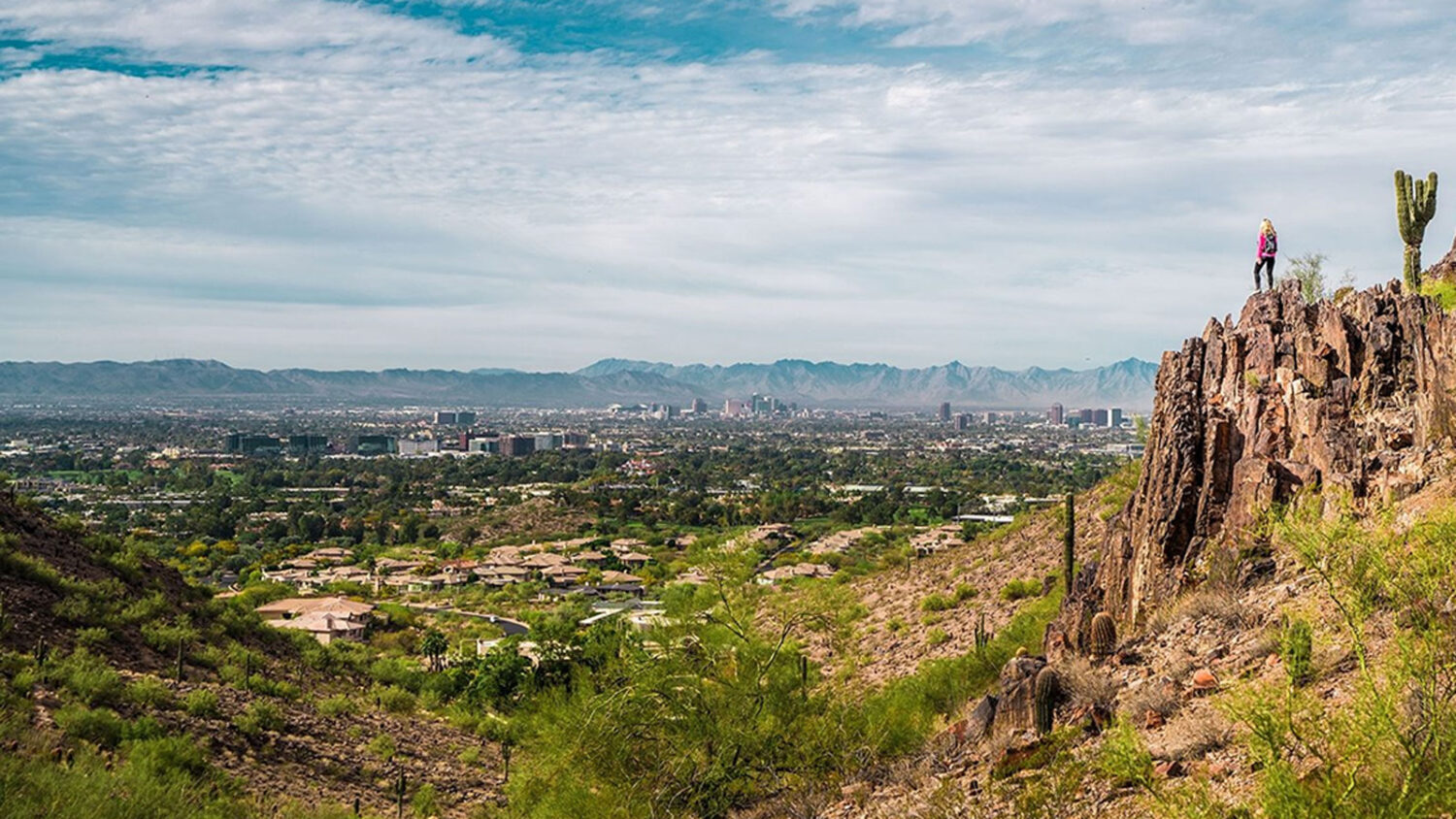
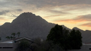
Labor Day weekend weather should be about normal for this time of year. (Visit Arizona photo)
(Visit Arizona photo)
The metro Phoenix weather forecast heading into Labor Day weekend calls for temperatures in the normal range and a slight chance for monsoon storm activity.
“Today, maybe something pops up around Phoenix toward the afternoon, but it’s better chances down to the south and east of here,” Sean Benedict of the National Weather Service in Phoenix told KTAR News 92.3 FM on Thursday morning. “And then we may also see some things pop up, some light showers, maybe a storm, during the overnight and early morning hours tomorrow.”
The Valley has a 20% chance for afternoon or evening thunderstorms Thursday, Friday and Saturday. There’s no rain in the forecast for the rest of Labor Day weekend.
Shower and thunderstorm chances return to south-central AZ beginning today. The higher rainfall potential will mainly be confined to southeast Arizona and the foothills and high terrain east of Phoenix. #azwx pic.twitter.com/AtvrpDf1Ip
— NWS Phoenix (@NWSPhoenix) September 3, 2026
“As far as temperatures go, we’re going to look at temperatures right around seasonal for the next several days,” Benedict said. “So, we’re talking high temperatures in the Phoenix area around the 102-to-105-degree range.”
September is shaping up to be relatively comfortable in terms of temperatures after the Valley was under an extreme heat warning for 13 days in July and 22 days in August.
“The pattern has shifted a little bit more into that somewhat transitional phase out of the monsoon, where we’re seeing more of these troughs come into the west. So, that’s shifted the high pressure well off to the east, so we’re not seeing that intense high pressure over the area,” Benedict said.
KTAR News 92.3 FM’s Colton Krolak contributed to this report.
Related
 Rescuers saved some 80 people in Grand Canyon floods that left 2 dead and 1 missing, officials say
 Showers move through Valley, wetting roadways for morning commute
 Dust storm, thunderstorm activity approaches Phoenix area
 Flood watch in effect as storms, rain expected to hit Valley
 Weekend forecast calls for drop in temperatures, possible widespread thunderstorms
 Phoenix heat death toll already rivals 2023 record with weeks of summer remaining

Comments
0 Comments