Rain starts falling in Phoenix area, is expected to continue in waves
Nov 19, 2019, 2:42 PM | Updated: Nov 20, 2019, 6:13 am

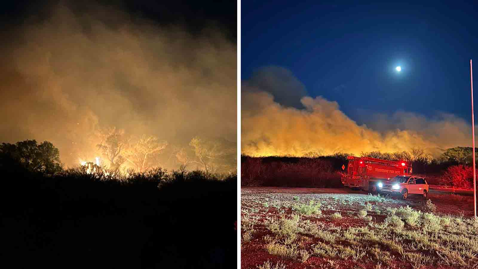
(KTAR News Photo/Danny Shapiro)
(KTAR News Photo/Danny Shapiro)

PHOENIX – Storms capable of heavy rain, gusty winds, hail, lightning and blowing dust moved across the Phoenix area Tuesday afternoon.
Phoenix Sky Harbor Airport saw its first measurable rainfall since Sept. 24, according to the National Weather Service. (A trace amount fell Nov. 6.)
It was the start of what was expected to be a wave of a storm activity over the next few days.
“We’re starting the see the leading edge of our first round of showers and thunderstorms moving into the Valley with a line that’s basically moving to the northeast,” Larry Hopper of the National Weather Service in Phoenix told KTAR News 92.3 FM around 1:30 p.m.
The precipitation started in southwestern Maricopa County and moved into central Phoenix and on to the East Valley, Hopper said. The West Valley was seeing lighter rainfall, if any.
We have a line of thunderstorms moving into Phoenix now. These storms are bringing heavy rain, wind, lightning, and blowing dust. Be careful out there! #azwx pic.twitter.com/XO9gYUuO4g
— NWS Phoenix (@NWSPhoenix) November 19, 2019
Gotta love the sound of 🌧. #azwx pic.twitter.com/jXVMGJjzdS
— Tyler Drake (@Tdrake4sports) November 19, 2019
The National Weather Service received reports that blowing dust reduced visibility to under 1 mile near Phoenix-Mesa Gateway Airport and in Queen Creek.

Hopper said there should be a break from the rain in the late afternoon and evening because the storms were moving faster than expected.
“And then as we go into the overnight hours into tomorrow we’ll still have very good chances for showers and thunderstorms for a couple of different periods,” he said.
A flash flood watch was in effect for the metro Phoenix area until 11 p.m. Wednesday.
“We expect the greatest threat for that is generally going to be overnight tonight into tomorrow,” Hopper said Tuesday.
Here’s a phone panorama of what looked like undulating Asperitas clouds moving through #Tempe #Arizona #azwx #stormhour pic.twitter.com/nx2nfAMCLl
— Pete Miramontes⚡️ (@wxpete75) November 19, 2019
Hopper said the activity was expected to continue into Thursday, but the heaviest storms should be gone by Wednesday night.
Tuesday’s temperature peaked at 76 degrees, but highs were expected to remain in the 60s at least until the weekend. Monday’s high was 85.
KTAR News 92.3 FM’s Nailea Leon contributed to this report.