National Weather Service uses various technologies to track Phoenix weather
Sep 25, 2019, 4:45 AM

(KTAR News/Griselda Zetino)
(KTAR News/Griselda Zetino)

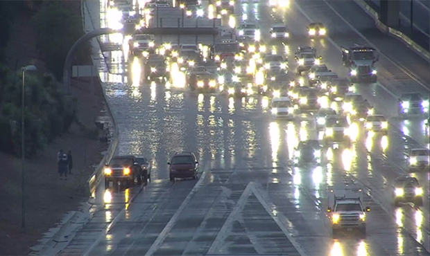
PHOENIX — From satellites to radars, the National Weather Service uses various technologies to track the weather in the Phoenix area.
KTAR News 92.3 FM got a tour of the agency’s office in Tempe on Tuesday.
“Over here is our satellite imagery – the Ghost 17 – these are the newest satellites,” said meteorologist Marvin Percha during the tour. “We can get imagery as often as one minute so we can see storms developing.”
The room is also packed with screens showing imagery from radars. Some track rainfall levels while others look out for flash floods. There are also radars that track dust storms in real time.
RELATED STORIES
“Now we’re able to issue dust storm warnings, whereas in the past the best we could do was just [get notified] if someone ran into it, which might be too late,” Percha said.
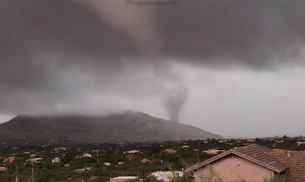
One of their radars was instrumental in helping detect a tornado north of Phoenix on Monday. A tornado warning for Cave Creek, Carefree and Camp Creek that lasted through 12:45 p.m.
Percha said he and other meteorologists with the National Weather Service also continue to use traditional tools to track the weather, including cameras that provide a 360-degree view of Phoenix.
“Sometimes just seeing it with your own eyes is the best tool of it all, in spite of all the other tools that we may seem to have nowadays,” he said.