Phoenix area will get some rain, then – surprise – lots of heat will return
Aug 9, 2019, 12:15 PM | Updated: Aug 11, 2019, 8:55 am

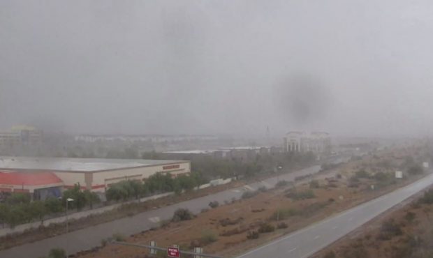
(Screenshot/City of Phoenix Webcam)
(Screenshot/City of Phoenix Webcam)

PHOENIX – The isolated rain showers that fell on metro Phoenix to finish off the workweek Friday may make way for something a little bigger over the weekend.
But that still won’t be enough to get the Arizona monsoon season on track.
Most of the state is more than 50% below average in rainfall for the summer storm season, which began June 15.
“The next couple days will give us our best shot at rain in the foreseeable future,” meteorologist Mark O’Malley with the National Weather Service told KTAR News 92.3 FM.
There was a 30% chance for rain early Saturday, jumping to 40% overnight, then dropping back down Sunday.
Thunderstorm chances return through the weekend for south-central AZ, including the Phoenix area. The peak chances for storms currently looks like Sat evening into Sun morning. Cooler temperatures are also expected with the increase in cloud cover and moisture. #azwx #cawx pic.twitter.com/xXTcgY2gHB
— NWS Phoenix (@NWSPhoenix) August 9, 2019
Phoenix Sky Harbor Airport has recorded a little more than a quarter-inch of rain this storm season.
RELATED STORIES

“Normally, we’re probably, at this time of year, up near 1¼ inches,” O’Malley said.
He added the southeast corner of the state had seen the most rain and the rest of Arizona was well below average.
Next week’s forecast is days of clear, sunny skies and high temperatures.

(National Weather Service)
“We could make another run at 110 degrees,” O’Malley said, pointing out the records for the dates are about 115 degrees.
“(So) it could be worse,” he said.
KTAR News 92.3 FM’s Jim Cross contributed to this report.