Flagstaff heading for another round of snow, weather advisories
Jan 5, 2017, 3:46 PM | Updated: 8:20 pm
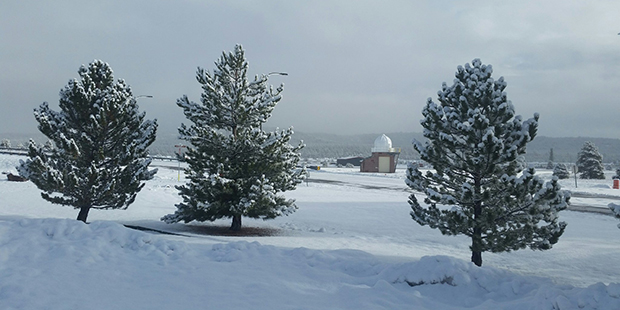
(Twitter Photo/@NWSFlagstaff)
(Twitter Photo/@NWSFlagstaff)

PHOENIX — Flagstaff received a healthy dumping of snow last week as a New Year’s Eve gift and it should be headed for more of the same this week.
The National Weather Service said about an inch-and-a-half of snow is expected to fall in the northern Arizona city on Friday, while some areas above 8,000 feet in elevation could receive as much as a foot.
A storm system will bring rain and snow to northern Arizona starting through Friday. #azwx pic.twitter.com/2hojUu5GwT
— NWS Flagstaff (@NWSFlagstaff) January 5, 2017
The storm will move into the area and drop rain, but that should turn to snow after midnight Thursday going into Friday morning.
Jonathan Suk with the weather service said Flagstaff has received 24 inches of snow this year. Despite the New Year’s Eve dump, it is still about eight inches below average for this time of year.
The latest round of storms will chip away at that deficit.
“Not wanting to curse it or anything, but as long as we keep seeing these storms come every couple of days and just slowly adding up to the snow pileup on top of the peaks, we’re not going to be complaining,” he said.
Unfortunately, the storm is also bringing some potentially hazardous conditions with it. The weather service issued a wind advisory that is in effect until 2 a.m. Friday morning and a hazardous weather outlook, as snow levels could fall.
Winter Weather and Wind Advisories issued for portions of N. Arizona. Greatest impacts in far N. and NE Arizona tonight… pic.twitter.com/svx3QryeK6
— NWS Flagstaff (@NWSFlagstaff) January 5, 2017
Suk said drivers should be prepared for winter driving conditions during their Friday morning commute.
KTAR’s Jim Cross contributed to this report.