Day of rain brings threat of flash flooding to East Valley and beyond
Sep 19, 2018, 3:59 PM | Updated: 4:43 pm
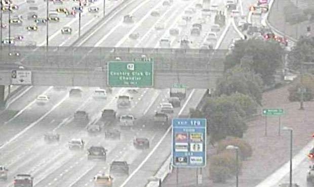
(Arizona Department of Transportation Traffic Camera Photo)
(Arizona Department of Transportation Traffic Camera Photo)

PHOENIX – With rain coming down throughout the day, a flash flood watch was issued for the East Valley and areas to the south and east Wednesday.
In addition to a swath of eastern and southern Maricopa County, the watch included northwest Pinal County, southeast Gila County and west Pinal County. It was scheduled to expire at 11 p.m.
Even if it’s not flooding, motorists should be careful on the wet roads during rush hour traffic.
Thanks to the rain, it was only 75 degrees at Sky Harbor Airport at 3 p.m. after a high of 92 just after midnight.
“The heaviest showers and thunderstorms will probably stay over the southeastern portions of the state,” National Weather Service meteorologist Larry Hopper told KTAR News 92.3 FM.
Parts of the East Valley could see from a quarter to half an inch of rain, he said.
No monkeying around … there is a Flash Flood Watch in effect through this evening for much of the Valley. This pool is in Ahwatukee where rain is moving in. Stay safe. Be prepared. #PHXMonsoon @NWSPhoenix pic.twitter.com/l0aFQZU0wb
— City of Phoenix, AZ (@CityofPhoenixAZ) September 19, 2018
Hopper said it was unlikely there would be the kind of strong winds and blowing dust seen earlier in the monsoon season.
“It’s not out of the question, but it’s not too likely,” he said.
Hopper warned that drivers traveling east of Gila Bend toward Casa Grande or on I-10 toward Tucson should exercise caution.
Lots of monsoon moisture moving in from the south today; expect scattered-numerous showers with heavy rain possible. Flash Flood Watch in effect 11 am thru the evening today for areas south & East of Phoenix. #azwx pic.twitter.com/hjrj6kaq7l
— NWS Phoenix (@NWSPhoenix) September 19, 2018
“Make sure if you do encounter flooding waters and roadways that you turn around and don’t drown,” he said.
Enjoy the rain and cooler temperature while you can, with Thursday’s high expected to be in the upper 90s and then triple digits forecast into the middle of next week.
While the precipitation could last into the night, it’s expected be gone by early Thursday morning.
“We are going to have a drying trend (Thursday),” Norton said.
KTAR News 92.3 FM’s Ashley Flood contributed to this report.