Forecast calling for Phoenix highs near 110 as monsoon moisture wanes
Aug 7, 2017, 1:59 PM
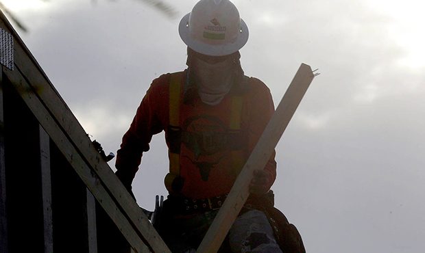
A construction worker at dawn with a face and neck covering to avoid the heat, Tuesday, June 20, 2017 in Phoenix. (AP Photo/Matt York)
(AP Photo/Matt York)

PHOENIX — The National Weather Service said highs in Phoenix could climb to hotter than 110 degrees this week as monsoon-related moisture takes a few days off.
The expected high of 111 degrees on Wednesday would be well above normal, as would other highs for the rest of the week.
Dry air and strengthening high pressure means temperatures climb above normal this week. Many desert locales reach 110 by Wed. #azwx #cawx pic.twitter.com/s7DZldq4Wg
— NWS Phoenix (@NWSPhoenix) August 7, 2017
“There’s been a shift in the weather pattern which has brought drier air into the state,” meteorologist Mark O’Malley said.
Overnight lows were expected to be in the mid- to upper 80s, but it won’t feel as hot as the humidity lessens.
The weather service also said there was a moderate heat risk all week.
With temperatures climbing to 110F by Wednesday, heat related illnesses will be possible, especially for those sensitive to heat. #azwx pic.twitter.com/ZugKPm01Ay
— NWS Phoenix (@NWSPhoenix) August 7, 2017
But the peak in temperatures was expected to be short-lived.
“Rest assured: By this weekend, the moisture will be moving back into the state,” O’Malley said.
Monsoon rain chances picked up starting Saturday, according to the forecast.
Phoenix had enjoyed a healthy monsoon as of Monday, which marked the halfway point of the season.
The official rain gauge at Phoenix Sky Harbor International Airport has recorded 1.82 inches of rain since June 15, the official start of the season.
Other areas have recorded much more rain. Tucson International Airport has received 6.8 inches of rain, Flagstaff Airport has reported 5.96 inches and parts of the East Valley have had at least 4 inches.
August is typically the wettest month of the monsoon.