Throwing cold water on day: More rain gushes down on parts of Phoenix
Aug 11, 2016, 8:17 AM | Updated: 11:50 am
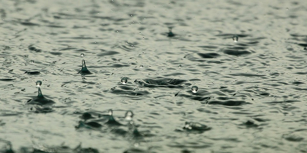

PHOENIX — Early morning rain splashed down on parts of metro Phoenix on Thursday, some of it hard enough to put a flood warning into effect.
The East Valley was expected to catch a deluge. The flood warning put into place for Queen Creek and other southeast Valley areas was set to last until 10:30 a.m.
Watch out for flooding in the SE Valley incl Queen Creek, Chandler, Gilbert…#azwx pic.twitter.com/j8o45PSwbC
— NWS Phoenix (@NWSPhoenix) August 11, 2016
Driving to downtown Phoenix for work and it's pouring on the 101 South! #phxstorm #azwx #phxmonsoon #monsoon16 pic.twitter.com/aYE2yW3sw3
— Stephanie Lieb (@StephNLieb) August 11, 2016
800a: Still some showers around the Valley. Possible flooding in the SE Valley #azwx pic.twitter.com/oz3jjTqJW0
— NWS Phoenix (@NWSPhoenix) August 11, 2016
At the other end of the Valley, northwest Phoenix was hit hard again.

(ADOT Webcam)
Showers fell overnight and the National Weather Service reported there were 15,000 flashes of lightning during Wednesday night’s storm.
The high for Thursday was 97 degrees, with the skies clearing by noon at the latest.
The rest of the week was expected to be sunny along with climbing temperatures. The weekend high could reach 105 degrees.